Mackinaw River
State Fish & Wildlife Area
(including DNR Canoe Landing)
Tazewell County, Illinois
|
Latitude/Longitude
Headquarters Area: 40.553438, -89.292311 DNR Canoe Landing: 40.569509, -89.318769 Gresham Road Access: 40.5539607, -89.31387731 Coil Road Access: 40.5606531, -89.32071570 |
Headquarters Area: 15470 Nelson Rd
DNR Canoe Landing: 31700 Schlappi Rd Gresham Road Access: 15000 Block Gresham Rd Coil Road Access: 16000 Block County Rd 3225 E (Coil Rd) Mackinaw IL 61755 |
|
Activities:
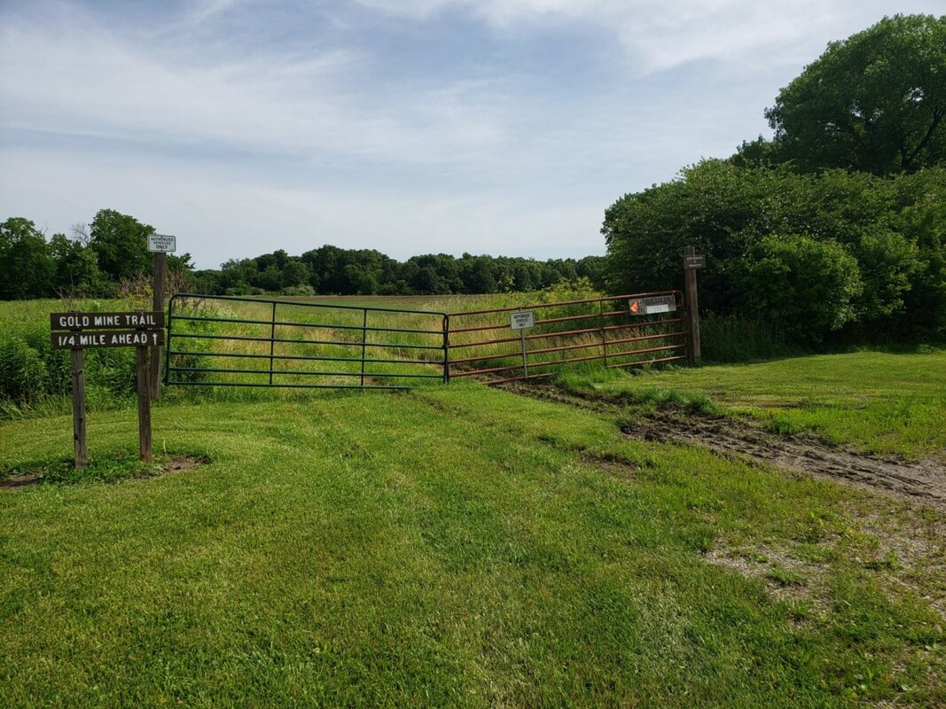
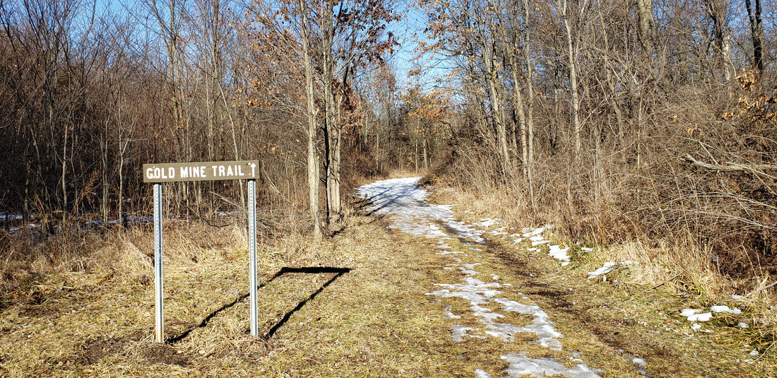
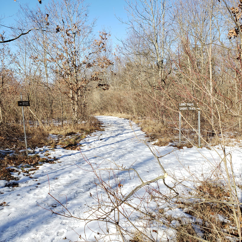
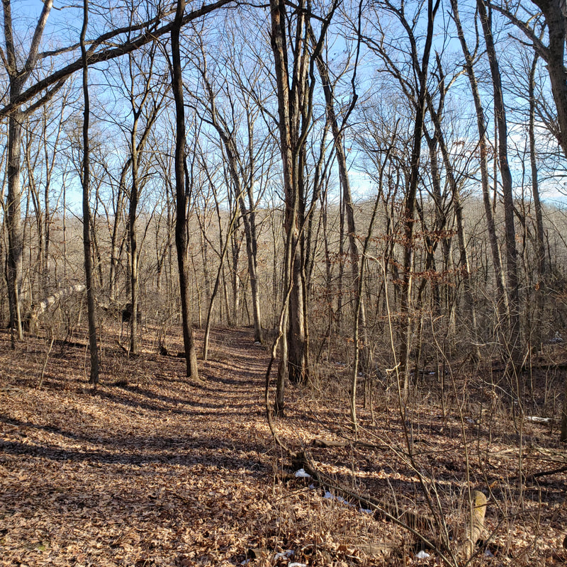
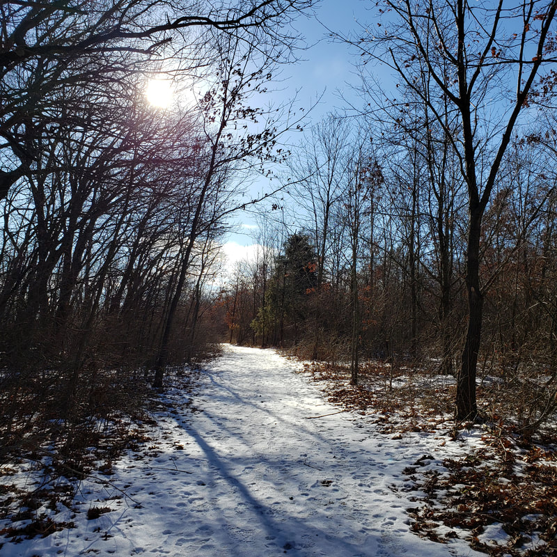
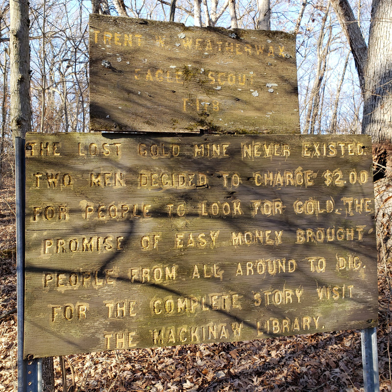
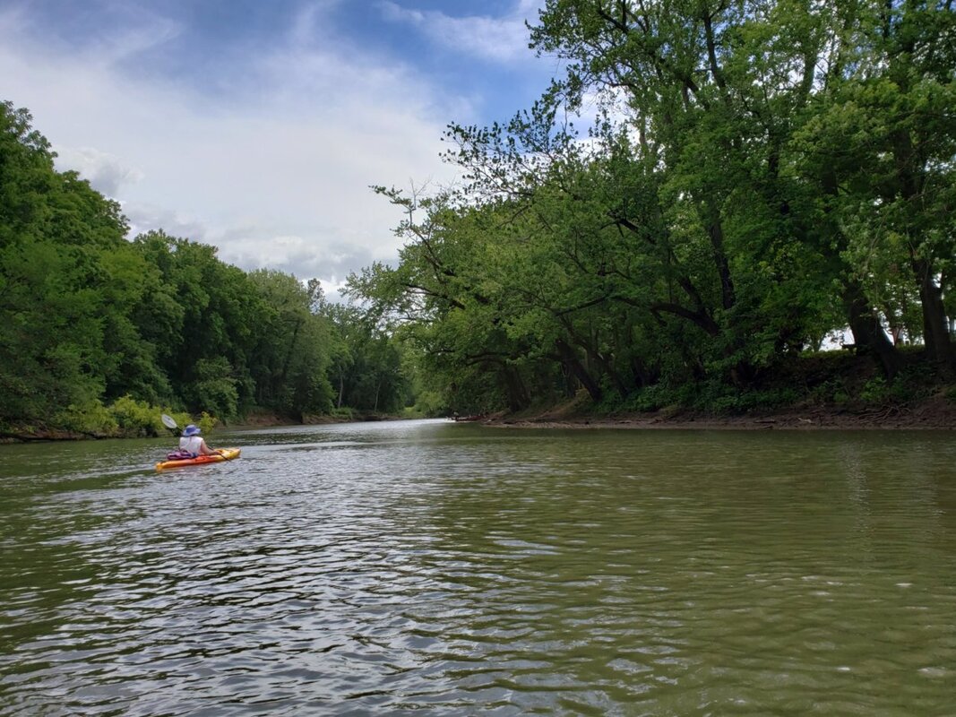
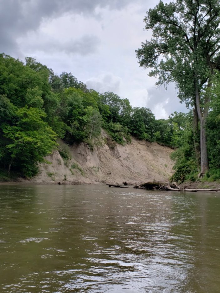
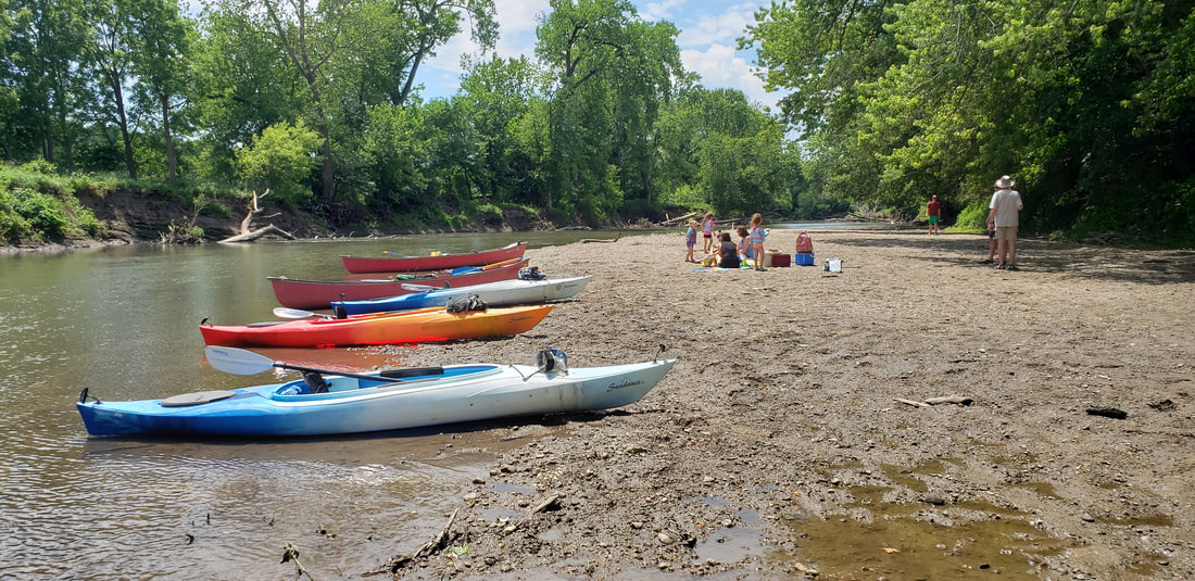
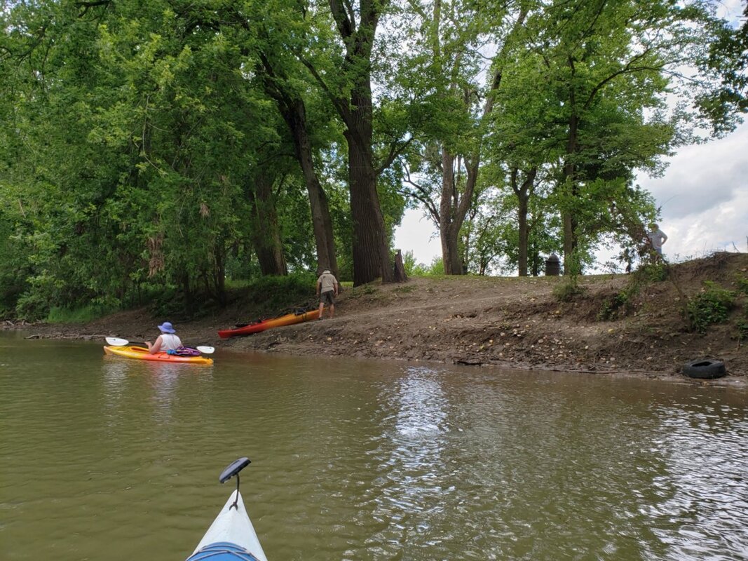
Trails (hiking) Water (paddle, fish) Other (hunt*, view wildlife, picnic, hand trap-shooting range) *Be aware, be safe. ALL visitors should see below. Season/Hours: sunrise to sunset Dog Friendly: yes (leashed) Map(s) On Site and/or Online: Online: On Site: no Parking: parking lots Amenities: vary by location Restrooms: vary by location; headquarters area has porta-potty Trail Info Websites/Apps: All Trails Cost: free Historical and/or Scientific Significance: historical; birding hotspot Terrain/Views/Access: forest, hills, prairie, open grass space, river riew & access, pond view & access General Description: multi-access 1428-acre state fish and wildlife area (including IDNR Canoe Landing); adjacent to Mehl's Bluff Nature Preserve and Parklands Nature Preserve OPAL’s Observations & Opinions: Subject to flooding. Know before you go. Check Mackinaw River levels using USGS by clicking here. Check Mackinaw River levels using NOAA by clicking here. Our January 2021 Gold Mine Trail hike was delightful but had blocked trails from ice storm damage. Be prepared to bushwhack around these areas. |
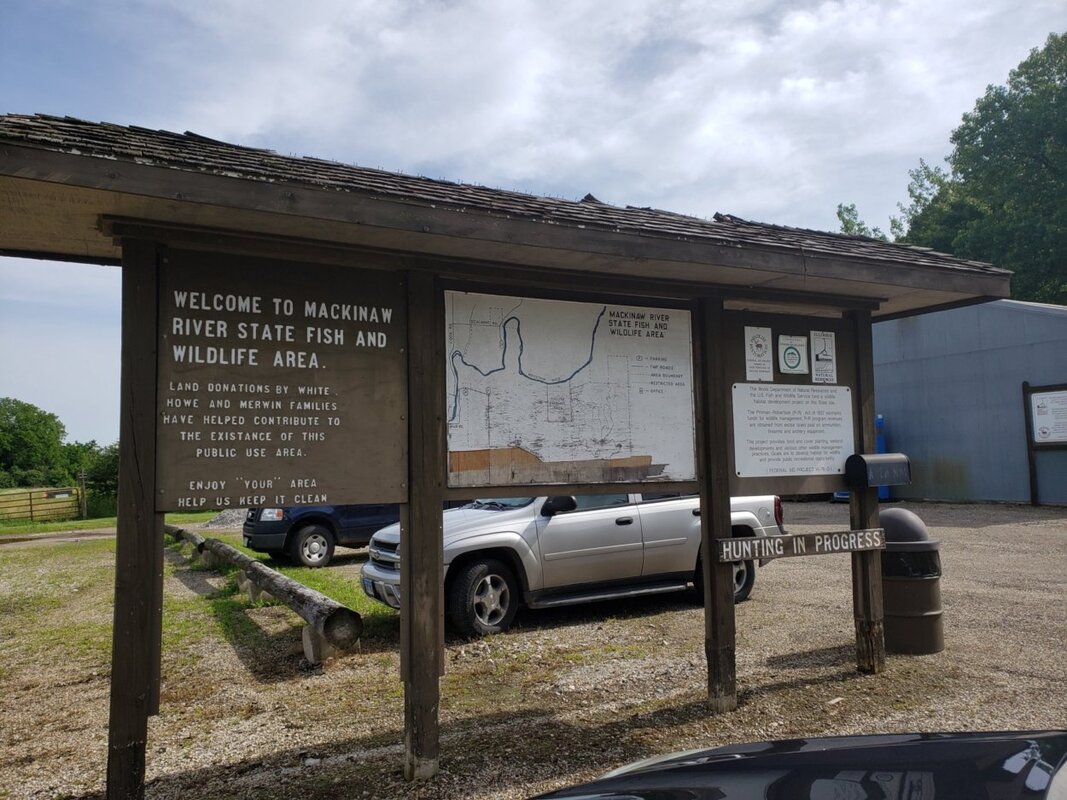
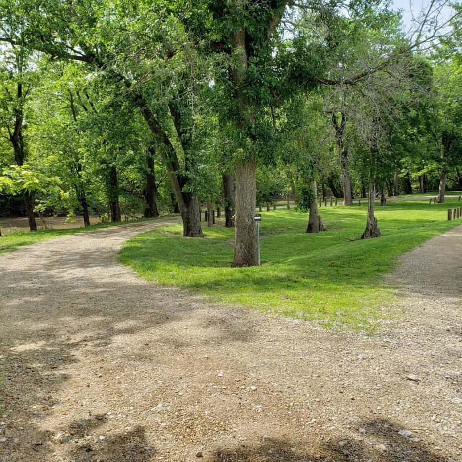
Headquarters Area:
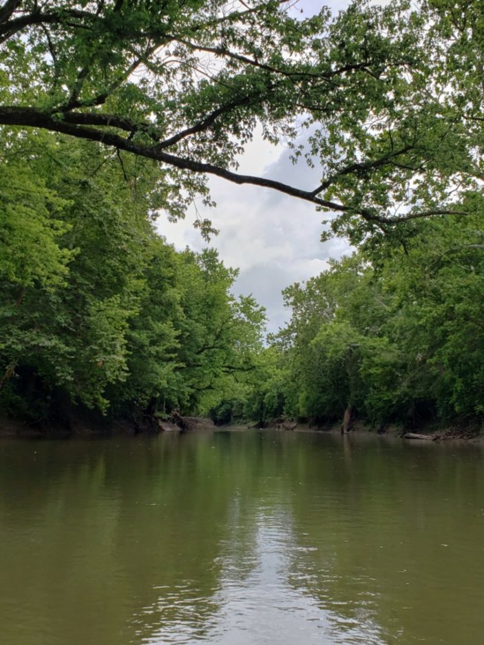
IDNR Canoe Landing:
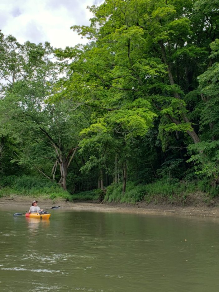
Gresham Road Access:
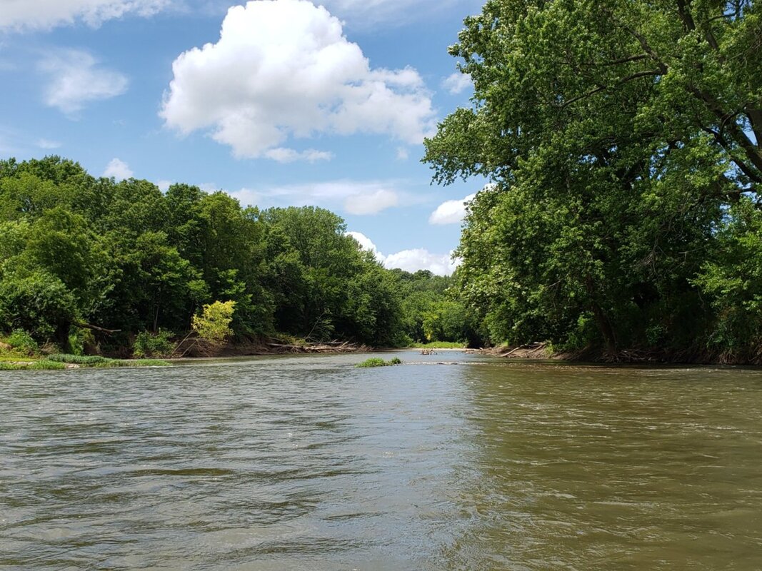
Coil Road Access:
Trail/Preserve Maps & Brochures (downloadable):
Mackinaw River mileages (PDF) Mackinaw River SFWA brochure & site map (PDF) Mackinaw River SFWA Hunter Map (PDF) More Information:
https://www.ifishillinois.org/profiles/waterbody.php?waternum=04097 https://ebird.org/hotspot/L2360173?yr=all&m=&rank=mrec https://www.chicagotribune.com/news/ct-xpm-2001-09-17-0109170050-story.html https://www.enjoyillinois.com/explore/listing/mackinaw-river-state-fish-and-wildlife-area https://huntillinois.org/sites/mackinaw-river-sfwa/ https://fromthehistoryroom.wordpress.com/tag/tazewell-county-maps/ https://local.aarp.org/place/mackinaw-river-state-fish-wildlife-area-mackinaw-il.html |
Managed by:
Illinois Department of Natural Resources
Site Superintendent
15470 Nelson Road
Mackinaw IL 61755
309-963-4969
[email protected]
[email protected]
Illinois Department of Natural Resources
Site Superintendent
15470 Nelson Road
Mackinaw IL 61755
309-963-4969
[email protected]
[email protected]
*Prior to visiting, ALL prospective visitors should check hunting information on the IL DNR website
https://huntillinois.org/ .
Some sites may have signs indicating “Hunting in Progress” in place at the parking lots.
Some will have NO indication of hunting.
Be AWARE ~ Be SAFE.
https://huntillinois.org/ .
Some sites may have signs indicating “Hunting in Progress” in place at the parking lots.
Some will have NO indication of hunting.
Be AWARE ~ Be SAFE.
Headquarters Area:
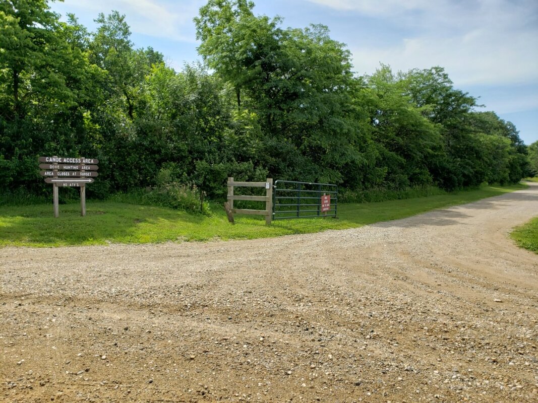
Canoe Access Area:
