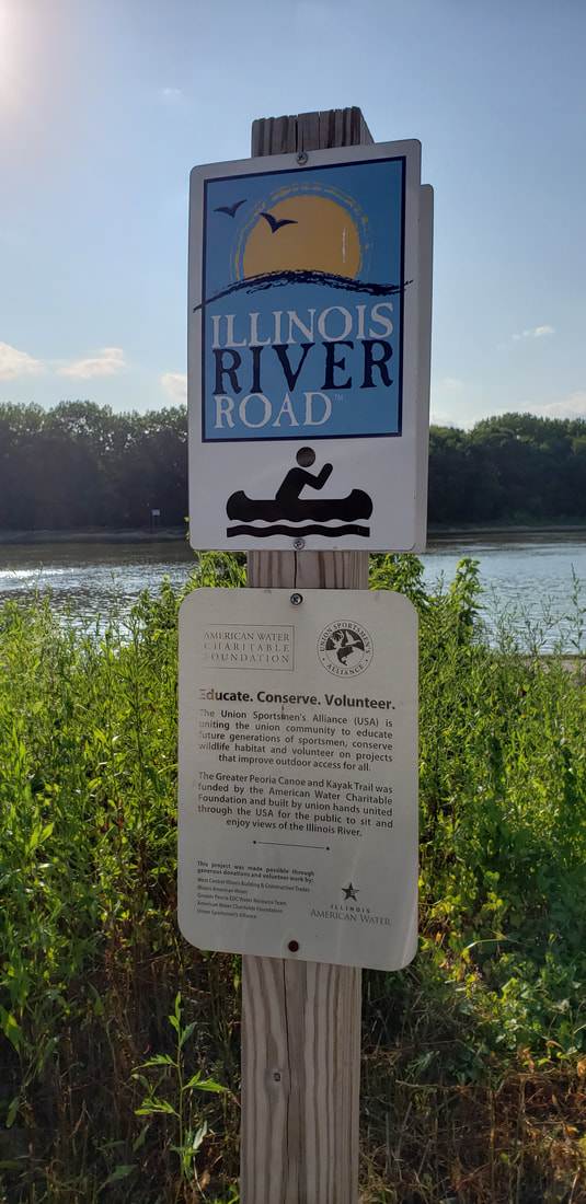
Greater Peoria Canoe & Kayak Trail
(also known as the Illinois River Canoe & Kayak Trail)
Marshall, Woodford, Peoria & Tazewell Counties, Illinois
Latitude/Longitude
Official Website
none found
none found
|
Activities:
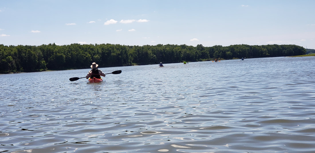
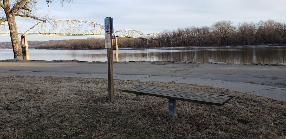
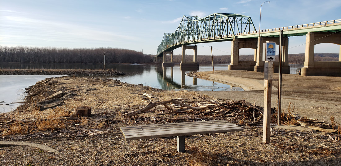
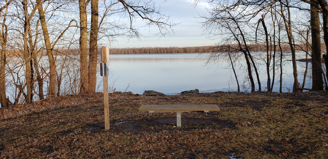
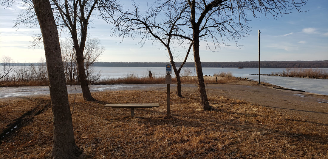
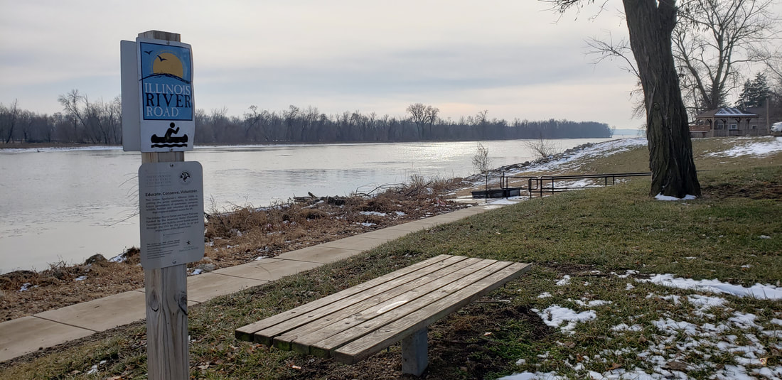
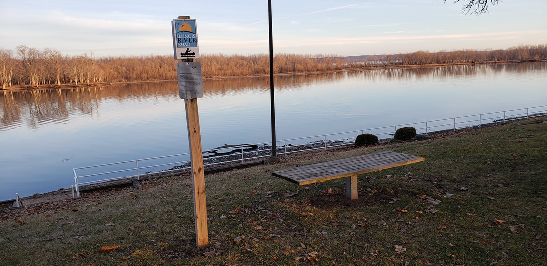
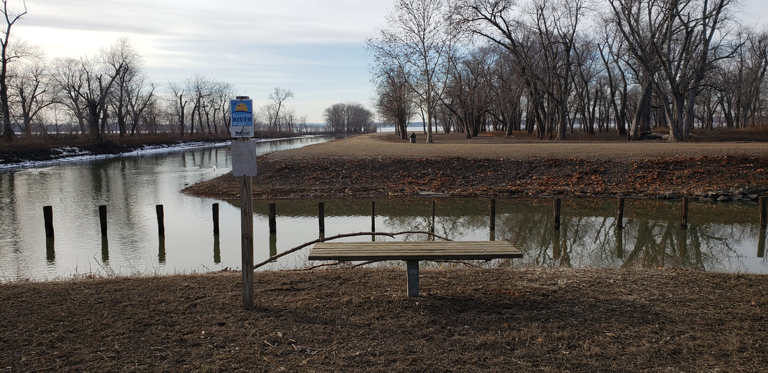
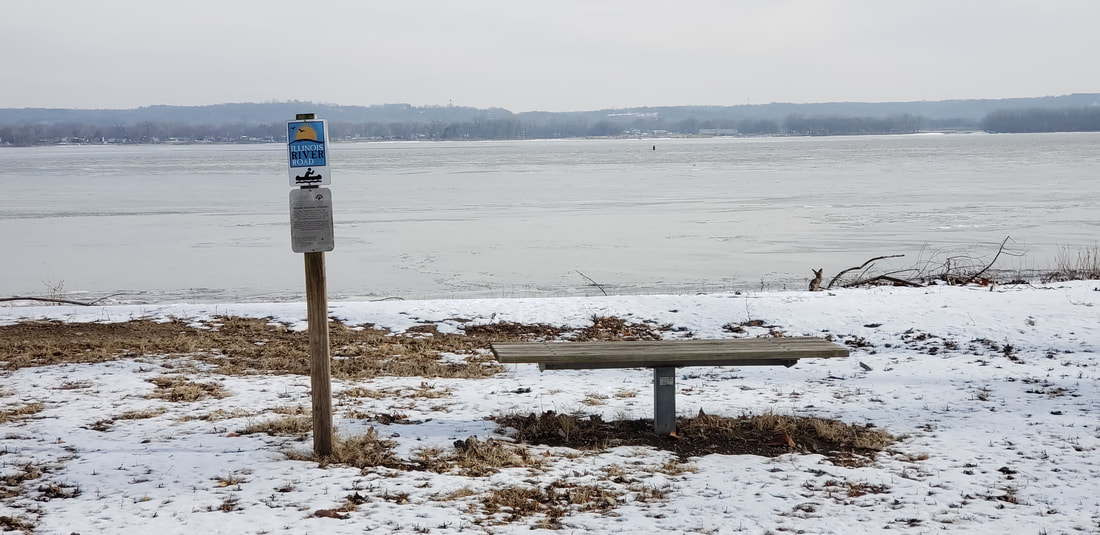
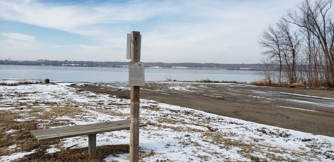
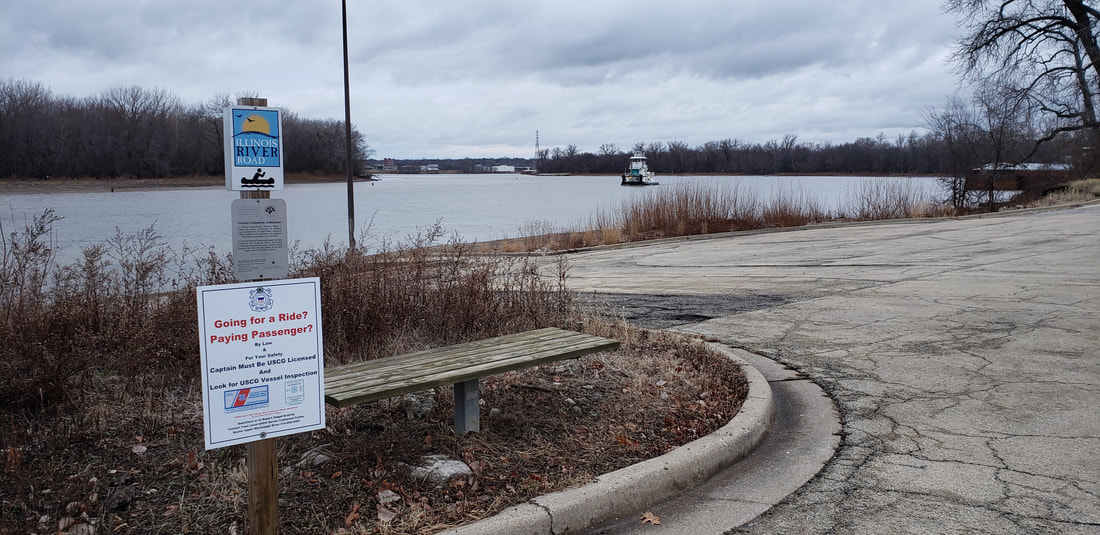
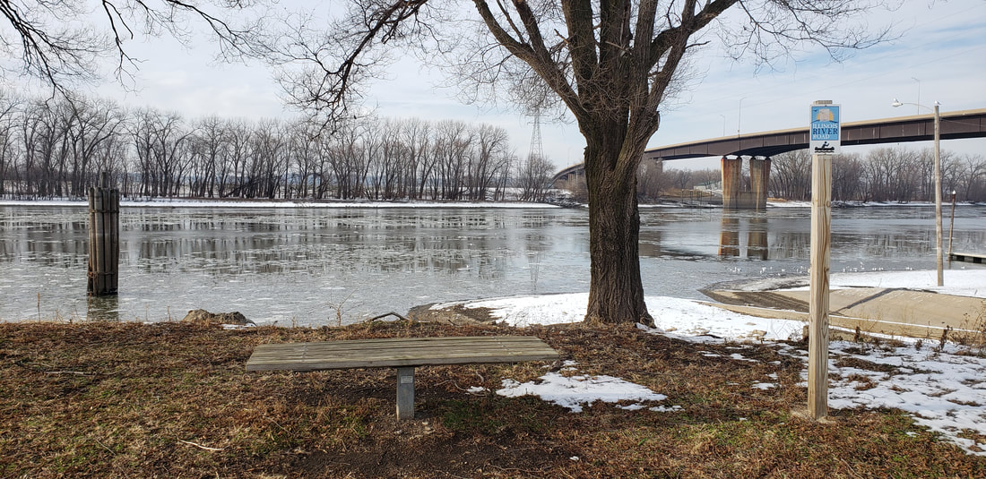
Water (paddle, fish) Season/Hours: varies by location Dog Friendly: yes Map(s) On Site and/or Online: Online: no On Site: no Parking: parking lots Amenities: bench at each stop; other amenities vary by location Restrooms: vary by location Trail Info Websites/Apps: no Cost: free Historical and/or Scientific Significance: historical Terrain/Views/Access: river view & access General Description: water trail of 11 stops on Illinois River from Henry to Pekin; approximately 43 river miles OPAL’s Observations & Opinions: The Peoria Lock & Dam is between stops at the Don Burch Boat Dock (Creve Coeur) and the Pekin Riverfront. Please contact the Peoria Lock & Dam for information. Some backwater areas can become very shallow and not navigable, even in paddlecraft. Check with managing group before going. Subject to Illinois River flooding. Know before you go. Check Illinois River levels here. |
Trail/Park Maps & Brochures (downloadable):
More Information:
http://unionsportsmen.org/illinois-river-canoe-kayak-trail/ https://spiritofpeoria.com/general-info/illinois-river-facts https://www.greaterpeoriaedc.org/recent-news/illinois-river-canoe-kayak-trail-ribbon-cutting-ceremony-photo-gallery/ http://www.peorian.com/news/news/non-profit/2106-canoe-kayak-trail https://www.mvr.usace.army.mil/Missions/Navigation/Lock-and-Dam-Information/Peoria-Lock-and-Dam/ https://www.illinoisriverroad.org/places/united-states/illinois/chillicothe/greater-peoria-canoe-and-kayak-trail/eagle-landing-bench/ https://www.mvr.usace.army.mil/Portals/48/docs/Nav/NavigationCharts/ILW/WaterwayDistances.pdf Managed by:
Varies by Location |
